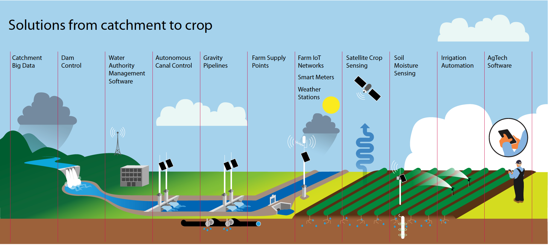
Illustrated Maps and Infographics
We have developed a specialty of designing custom illustrated maps and infographics for our clients. Infographics are an ideal way to communicate complex information in an engaging and easy to understand way. Custom illustrated maps allow us to explain spacial information and explain features of a landscape or region. Our maps have featured in brochures and banners, posters, information signage and even framed on walls.
We have designed maps of vineyards, wind and solar farms, energy grids, housing developments, road and rail developments and global humanitarian initiatives to name a few. Our infographics include illustrations, pie and bar charts, quantitative information, and complex mechanics.
If you need someone to help you with an infographic or custom illustrated map, please get in touch and we can bring it to life.


